
Salak topographic map
Interactive map
Click on the map to display elevation.
About this map
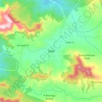
Name: Salak topographic map, elevation, terrain.
Location: Salak, Pakpak Bharat, Sumatra du Nord, Indonésie (2.51610 98.28387 2.59610 98.36387)
Average elevation: 3,166 ft
Minimum elevation: 2,539 ft
Maximum elevation: 4,423 ft