
Felsberger Calanda topographic map
Interactive map
Click on the map to display elevation.
About this map
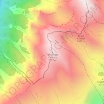
Name: Felsberger Calanda topographic map, elevation, terrain.
Average elevation: 7,067 ft
Minimum elevation: 3,990 ft
Maximum elevation: 8,885 ft