
Cornellana topographic map
Interactive map
Click on the map to display elevation.
About this map
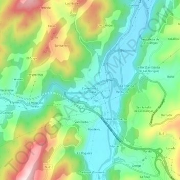
Name: Cornellana topographic map, elevation, terrain.
Location: Cornellana, Salas, Asturias, 33850, España (43.39145 -6.17880 43.43145 -6.13880)
Average elevation: 584 ft
Minimum elevation: 95 ft
Maximum elevation: 1,496 ft