
Kundura topographic map
Interactive map
Click on the map to display elevation.
About this map
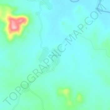
Name: Kundura topographic map, elevation, terrain.
Location: Kundura, Koraput, Odisha, 764002, India (18.90933 82.36890 18.94933 82.40890)
Average elevation: 1,900 ft
Minimum elevation: 1,795 ft
Maximum elevation: 2,415 ft