
La Bodera topographic map
Interactive map
Click on the map to display elevation.
About this map
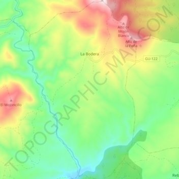
Name: La Bodera topographic map, elevation, terrain.
Location: La Bodera, Guadalajara, Castilië-La Mancha, Spanje (41.08953 -2.91693 41.15452 -2.86476)
Average elevation: 3,550 ft
Minimum elevation: 2,920 ft
Maximum elevation: 4,590 ft