Black Canyon topographic map
Interactive map
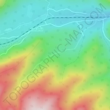
Click on the map to display elevation.
About this map
Name: Black Canyon topographic map, elevation, terrain.
Average elevation: 9,360 ft
Minimum elevation: 8,783 ft
Maximum elevation: 10,341 ft

Click on the map to display elevation.
Name: Black Canyon topographic map, elevation, terrain.
Average elevation: 9,360 ft
Minimum elevation: 8,783 ft
Maximum elevation: 10,341 ft