
Westerland topographic map
Interactive map
Click on the map to display elevation.
About this map
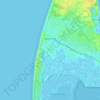
Name: Westerland topographic map, elevation, terrain.
Location: Westerland, Sylt, Nordfriesland, Sleeswijk-Holstein, Duitsland (54.86740 8.28659 54.93115 8.32273)
Average elevation: 10 ft
Minimum elevation: -13 ft
Maximum elevation: 79 ft