
江苏园博园 topographic map
Interactive map
Click on the map to display elevation.
About this map
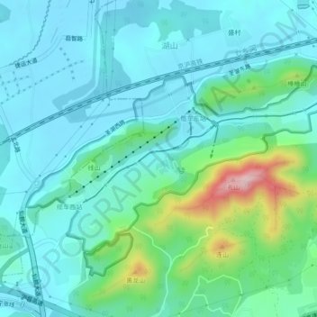
Name: 江苏园博园 topographic map, elevation, terrain.
Location: 江苏园博园, 栖霞区, 南京市, 江苏省, 中国 (32.06664 118.98715 32.08786 119.02933)
Average elevation: 236 ft
Minimum elevation: 43 ft
Maximum elevation: 1,043 ft
Other topographic maps
Click on a map to view its topography, its elevation and its terrain.