
Château d'Ars topographic map
Interactive map
Click on the map to display elevation.
About this map
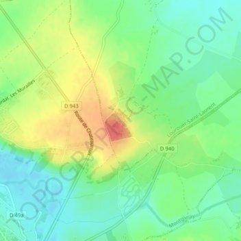
Name: Château d'Ars topographic map, elevation, terrain.
Average elevation: 719 ft
Minimum elevation: 643 ft
Maximum elevation: 833 ft
Other topographic maps
Click on a map to view its topography, its elevation and its terrain.
Le Montoire
France > Centre-Val de Loire > Nohant-Vic
Le Montoire, Nohant-Vic, La Châtre, Indre, Centre-Val de Loire, France métropolitaine, 36400, France
Average elevation: 656 ft