
Mols topographic map
Interactive map
Click on the map to display elevation.
About this map
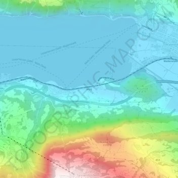
Name: Mols topographic map, elevation, terrain.
Location: Mols, Wahlkreis Sarganserland, Saint-Gall, 8885, Suisse (47.09282 9.26594 47.13282 9.30594)
Average elevation: 2,096 ft
Minimum elevation: 1,368 ft
Maximum elevation: 4,593 ft