
Bab Taza topographic map
Interactive map
Click on the map to display elevation.
About this map
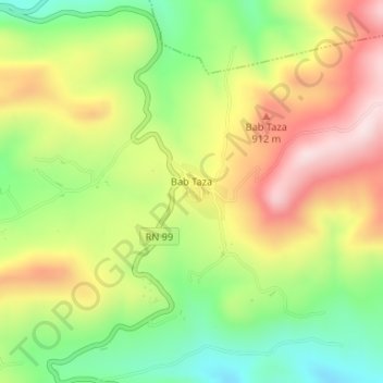
Name: Bab Taza topographic map, elevation, terrain.
Location: Bab Taza, daïra Nedroma, Tlemcen, Algérie (34.96686 -1.76257 34.97092 -1.75841)
Average elevation: 2,618 ft
Minimum elevation: 2,037 ft
Maximum elevation: 3,261 ft