
Caton topographic map
Interactive map
Click on the map to display elevation.
About this map
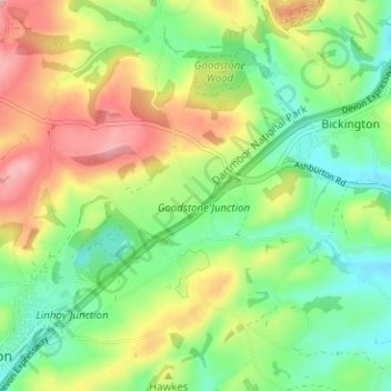
Name: Caton topographic map, elevation, terrain.
Average elevation: 453 ft
Minimum elevation: 210 ft
Maximum elevation: 814 ft
Other topographic maps
Click on a map to view its topography, its elevation and its terrain.
Hele
United Kingdom > England > Devon > Teignbridge > Ashburton
Hele, Ashburton, Teignbridge, Devon, England, TQ13 7QX, United Kingdom
Average elevation: 449 ft
Ashburton
United Kingdom > England > Devon > Teignbridge > Ashburton
Ashburton, Teignbridge, Devon, England, United Kingdom
Average elevation: 535 ft
Dolbeare
United Kingdom > England > Devon > Teignbridge > Ashburton
Dolbeare, Ashburton, Teignbridge, Devon, England, TQ13 7LB, United Kingdom
Average elevation: 417 ft