
Britz topographic map
Interactive map
Click on the map to display elevation.
About this map
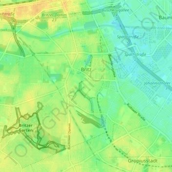
Name: Britz topographic map, elevation, terrain.
Location: Britz, Neukölln, Berlijn, Duitsland (52.42289 13.40625 52.46516 13.47869)
Average elevation: 141 ft
Minimum elevation: 105 ft
Maximum elevation: 180 ft
Other topographic maps
Click on a map to view its topography, its elevation and its terrain.