
Telchac Pueblo topographic map
Interactive map
Click on the map to display elevation.
About this map
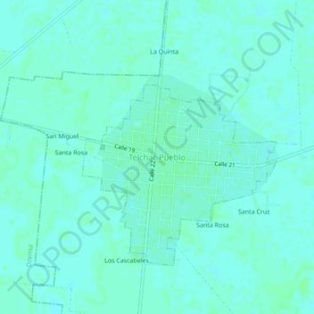
Name: Telchac Pueblo topographic map, elevation, terrain.
Location: Telchac Pueblo, Yucatán, México (21.18338 -89.29198 21.22338 -89.25198)
Average elevation: 23 ft
Minimum elevation: 13 ft
Maximum elevation: 30 ft