
La Aurora topographic map
Interactive map
Click on the map to display elevation.
About this map
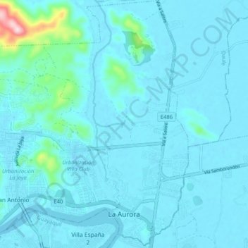
Name: La Aurora topographic map, elevation, terrain.
Location: La Aurora, Daule, Guayas, Ecuador (-2.06503 -79.93932 -1.98675 -79.86067)
Average elevation: 79 ft
Minimum elevation: -20 ft
Maximum elevation: 991 ft