
Kalaya topographic map
Interactive map
Click on the map to display elevation.
About this map
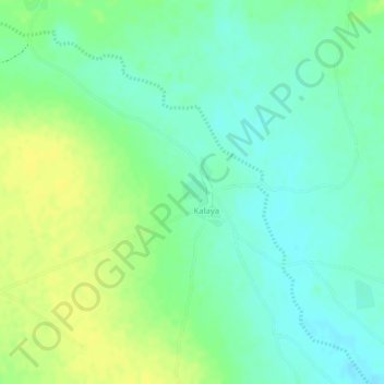
Name: Kalaya topographic map, elevation, terrain.
Location: Kalaya, Cercle de Kati, Koulikoro, Mali (12.35290 -8.29146 12.35792 -8.28851)
Average elevation: 1,168 ft
Minimum elevation: 1,132 ft
Maximum elevation: 1,201 ft