
Shubert topographic map
Interactive map
Click on the map to display elevation.
About this map
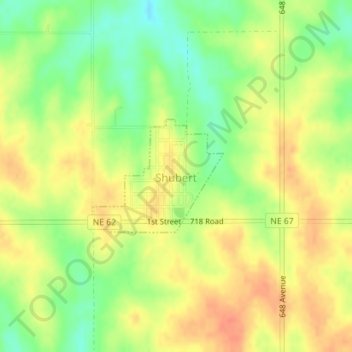
Name: Shubert topographic map, elevation, terrain.
Location: Shubert, Richardson County, Nebraska, 68437, United States (40.23215 -95.69070 40.24084 -95.67758)
Average elevation: 1,102 ft
Minimum elevation: 1,017 ft
Maximum elevation: 1,168 ft