
Vadnagar topographic map
Interactive map
Click on the map to display elevation.
About this map
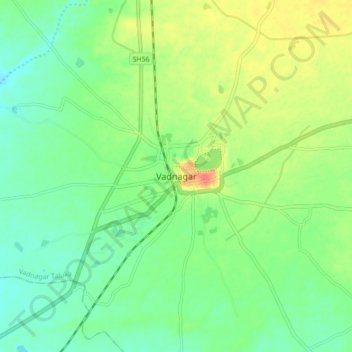
Name: Vadnagar topographic map, elevation, terrain.
Average elevation: 505 ft
Minimum elevation: 449 ft
Maximum elevation: 597 ft
Vadnagar is located at 23°47′N 72°38′E / 23.78°N 72.63°E / 23.78; 72.63. It has an average elevation of 143 metres (469 feet).