
Wolmirstedt topographic map
Interactive map
Click on the map to display elevation.
About this map
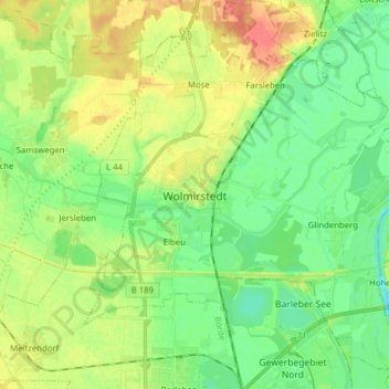
Name: Wolmirstedt topographic map, elevation, terrain.
Location: Wolmirstedt, Börde, Saxony-Anhalt, Germany (52.20078 11.58213 52.29660 11.73579)
Average elevation: 164 ft
Minimum elevation: 102 ft
Maximum elevation: 259 ft