
Steinheim topographic map
Interactive map
Click on the map to display elevation.
About this map
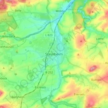
Name: Steinheim topographic map, elevation, terrain.
Location: Steinheim, Kreis Höxter, North Rhine-Westphalia, 32839, Germany (51.82605 9.05428 51.90605 9.13428)
Average elevation: 545 ft
Minimum elevation: 400 ft
Maximum elevation: 817 ft