
Halban topographic map
Interactive map
Click on the map to display elevation.
About this map
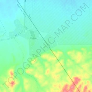
Name: Halban topographic map, elevation, terrain.
Location: Halban, Al Batinah South, Oman (23.56051 58.01763 23.60051 58.05763)
Average elevation: 328 ft
Minimum elevation: 230 ft
Maximum elevation: 571 ft