
Mandıra topographic map
Interactive map
Click on the map to display elevation.
About this map
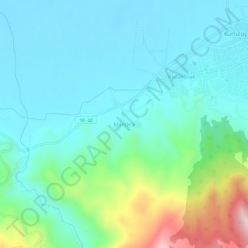
Name: Mandıra topographic map, elevation, terrain.
Location: Mandıra, Sındırgı, Balıkesir, Marmara Region, 10330, Turkey (39.20889 28.12362 39.24889 28.16362)
Average elevation: 997 ft
Minimum elevation: 659 ft
Maximum elevation: 2,238 ft