
Medio Ponente topographic map
Interactive map
Click on the map to display elevation.
About this map
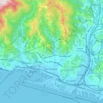
Name: Medio Ponente topographic map, elevation, terrain.
Location: Medio Ponente, Genoa, Liguria, Italy (44.39952 8.81693 44.47674 8.89004)
Average elevation: 525 ft
Minimum elevation: -23 ft
Maximum elevation: 3,146 ft
Other topographic maps
Click on a map to view its topography, its elevation and its terrain.