
Walsh Landing topographic map
Interactive map
Click on the map to display elevation.
About this map
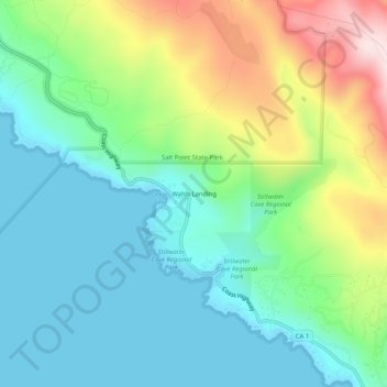
Name: Walsh Landing topographic map, elevation, terrain.
Location: Walsh Landing, Sonoma County, California, 95450, USA (38.53561 -123.32002 38.57561 -123.28002)
Average elevation: 371 ft
Minimum elevation: 0 ft
Maximum elevation: 1,243 ft