
Snyder topographic map
Interactive map
Click on the map to display elevation.
About this map
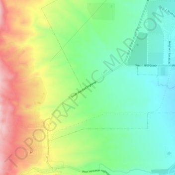
Name: Snyder topographic map, elevation, terrain.
Location: Snyder, Salt Lake County, Utah, 84006, VS (40.51189 -112.10077 40.55189 -112.06077)
Average elevation: 5,335 ft
Minimum elevation: 5,033 ft
Maximum elevation: 5,807 ft