
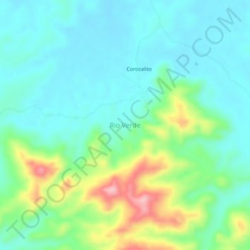
Rio Verde topographic map
Interactive map
Click on the map to display elevation.
About this map
Name: Rio Verde topographic map, elevation, terrain.
Location: Rio Verde, Puerto Libertador, Córdoba, Colombia (7.78706 -75.69259 7.82706 -75.65259)
Average elevation: 384 ft
Minimum elevation: 233 ft
Maximum elevation: 807 ft