Geolocate

Moncheaux topographic map

Click on the map to display elevation.

About this map
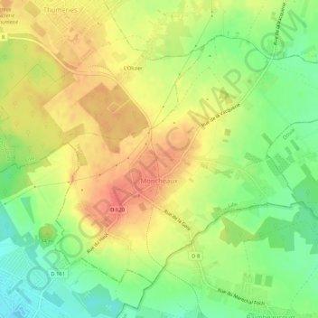
Name: Moncheaux topographic map, elevation, terrain.

Location: Moncheaux, Lille, Nord, Hauts-de-France, Metropolitan France, 59283, France (50.44397 3.06551 50.46981 3.11760)

Average elevation: 174 ft

Minimum elevation: 82 ft

Maximum elevation: 253 ft

Other topographic maps

Click on a map to view its topography, its elevation and its terrain.
Arenberg

France > Hauts-de-France > Nord > Wallers

Average elevation: 102 ft

Mouvaux

France > Hauts-de-France > Nord > Mouvaux > Mouvaux

Average elevation: 115 ft

Gear up for your next adventure:

🩳Quick‑Dry Hiking Shorts - Comfortable and quick‑dry shorts for summer hiking
🎒Waterproof Dry Bags - Keep your electronics and maps dry inside your pack
🧤Hiking Gloves - Protective gloves for rugged trails
🛡️Bear Spray Outdoor - Protection in bear country hikes
⛺Backpacking Tent - Lightweight and durable tent for multi‑day hikes

As an Amazon Associate, this site earns from qualifying purchases at no extra cost to you.