
Lerate topographic map
Interactive map
Click on the map to display elevation.
About this map
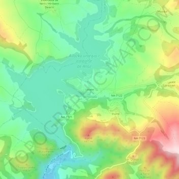
Name: Lerate topographic map, elevation, terrain.
Location: Lerate, Guesálaz, Montejurra, Navarre, 31291, Espagne (42.69854 -1.95533 42.73854 -1.91533)
Average elevation: 1,729 ft
Minimum elevation: 1,302 ft
Maximum elevation: 2,484 ft