
Eliza topographic map
Interactive map
Click on the map to display elevation.
About this map
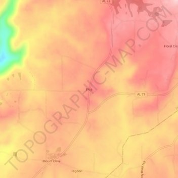
Name: Eliza topographic map, elevation, terrain.
Location: Eliza, Jackson County, Alabama, 35979, USA (34.84397 -85.63302 34.88397 -85.59302)
Average elevation: 1,391 ft
Minimum elevation: 912 ft
Maximum elevation: 1,581 ft