
La Cequia topographic map
Interactive map
Click on the map to display elevation.
About this map
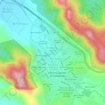
Name: La Cequia topographic map, elevation, terrain.
Location: La Cequia, Sombrerete, Zacatecas, 99109, Mexique (23.74758 -103.84216 23.74886 -103.84127)
Average elevation: 7,234 ft
Minimum elevation: 6,919 ft
Maximum elevation: 7,776 ft
Other topographic maps
Click on a map to view its topography, its elevation and its terrain.