
龙朋镇 topographic map
Interactive map
Click on the map to display elevation.
About this map
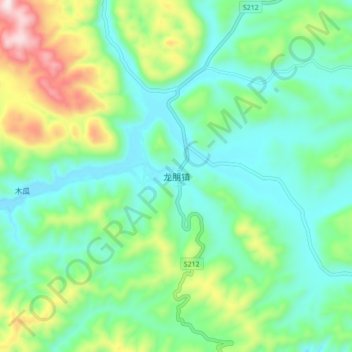
Name: 龙朋镇 topographic map, elevation, terrain.
Location: 龙朋镇, 石屏县, 红河哈尼族彝族自治州, 云南省, 中国 (23.84879 102.53038 23.92879 102.61038)
Average elevation: 6,214 ft
Minimum elevation: 5,676 ft
Maximum elevation: 7,638 ft
Other topographic maps
Click on a map to view its topography, its elevation and its terrain.