
茅地村 topographic map
Interactive map
Click on the map to display elevation.
About this map
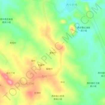
Name: 茅地村 topographic map, elevation, terrain.
Location: 茅地村, 岛村, 儋州市, 海南省, 中国 (19.48618 109.30839 19.52618 109.34839)
Average elevation: 407 ft
Minimum elevation: 233 ft
Maximum elevation: 620 ft