
Weillen topographic map
Interactive map
Click on the map to display elevation.
About this map
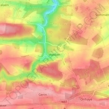
Name: Weillen topographic map, elevation, terrain.
Location: Weillen, Onhaye, Dinant, Namen, Wallonië, 5523, België (50.23991 4.80269 50.27991 4.84269)
Average elevation: 741 ft
Minimum elevation: 476 ft
Maximum elevation: 883 ft