
Măng Đen topographic map
Interactive map
Click on the map to display elevation.
About this map
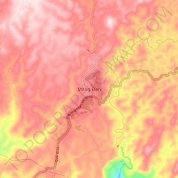
Name: Măng Đen topographic map, elevation, terrain.
Location: Măng Đen, Kon Plông District, Kon Tum Province, Vietnam (14.56146 108.25162 14.64146 108.33162)
Average elevation: 3,711 ft
Minimum elevation: 2,549 ft
Maximum elevation: 4,199 ft