
罗山国家级自然保护区 topographic map
Interactive map
Click on the map to display elevation.
About this map
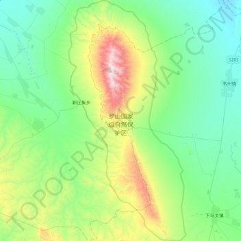
Name: 罗山国家级自然保护区 topographic map, elevation, terrain.
Location: 罗山国家级自然保护区, 同心县, 吴忠市, 宁夏回族自治区, 中国 (37.08045 106.21024 37.39662 106.40448)
Average elevation: 5,390 ft
Minimum elevation: 4,354 ft
Maximum elevation: 8,566 ft
Other topographic maps
Click on a map to view its topography, its elevation and its terrain.