
Provincia de General Sánchez Cerro topographic map
Interactive map
Click on the map to display elevation.
About this map
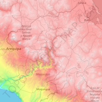
Name: Provincia de General Sánchez Cerro topographic map, elevation, terrain.
Average elevation: 12,008 ft
Minimum elevation: 8,524 ft
Maximum elevation: 15,466 ft