
Cerros de Florida topographic map
Interactive map
Click on the map to display elevation.
About this map
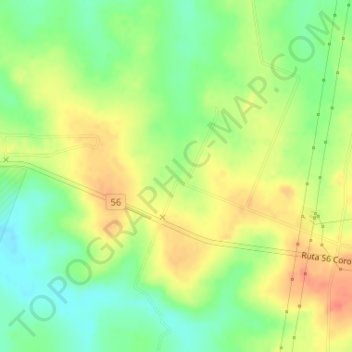
Name: Cerros de Florida topographic map, elevation, terrain.
Location: Cerros de Florida, Florida, Uruguay (-34.10581 -56.16355 -34.08581 -56.14355)
Average elevation: 259 ft
Minimum elevation: 177 ft
Maximum elevation: 341 ft
Other topographic maps
Click on a map to view its topography, its elevation and its terrain.
Fray Marcos
Uruguay > Florida > Fray Marcos
Fray Marcos, Florida, 90601, Uruguay
Average elevation: 246 ft
Cerro Chato
Uruguay > Florida > Cerro Chato
Cerro Chato, Florida, 35200, Uruguay
Average elevation: 820 ft
Sarandí Grande
Uruguay > Florida > Sarandí Grande
Sarandí Grande, Florida, 94100, Uruguay
Average elevation: 453 ft