
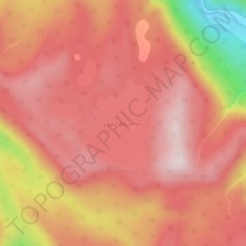
Lake Mueller topographic map
Interactive map
Click on the map to display elevation.
About this map
Name: Lake Mueller topographic map, elevation, terrain.
Average elevation: 1,319 ft
Minimum elevation: 410 ft
Maximum elevation: 1,686 ft
Other topographic maps
Click on a map to view its topography, its elevation and its terrain.
Westland Tai Poutini National Park
Westland Tai Poutini National Park, Fox Glacier Track, Fox Glacier, Westland District, West Coast, New Zealand
Average elevation: 2,247 ft