
Tseung Kwan O topographic map
Interactive map
Click on the map to display elevation.
About this map
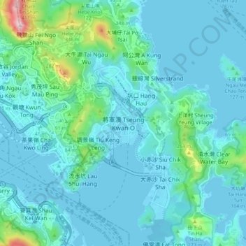
Name: Tseung Kwan O topographic map, elevation, terrain.
Location: Tseung Kwan O, Sai Kung District, Hong Kong, NKIL 6326, PRC (22.26879 114.21963 22.34879 114.29963)
Average elevation: 236 ft
Minimum elevation: -10 ft
Maximum elevation: 1,936 ft