
Volcán Irruputuncu topographic map
Interactive map
Click on the map to display elevation.
About this map
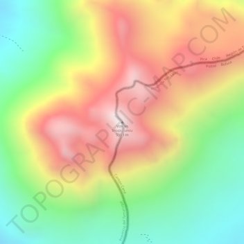
Name: Volcán Irruputuncu topographic map, elevation, terrain.
Average elevation: 15,554 ft
Minimum elevation: 14,140 ft
Maximum elevation: 16,959 ft