
McCord topographic map
Interactive map
Click on the map to display elevation.
About this map
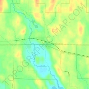
Name: McCord topographic map, elevation, terrain.
Location: McCord, Town of Wilson, Lincoln County, Wisconsin, USA (45.53524 -89.91959 45.57524 -89.87959)
Average elevation: 1,503 ft
Minimum elevation: 1,437 ft
Maximum elevation: 1,565 ft