
Ugarte topographic map
Interactive map
Click on the map to display elevation.
About this map
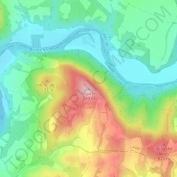
Name: Ugarte topographic map, elevation, terrain.
Location: Ugarte, Sangüesa, Navarra, 31400, España (42.59323 -1.24645 42.59333 -1.24635)
Average elevation: 1,585 ft
Minimum elevation: 1,319 ft
Maximum elevation: 2,041 ft