
Vissershaven topographic map
Interactive map
Click on the map to display elevation.
About this map
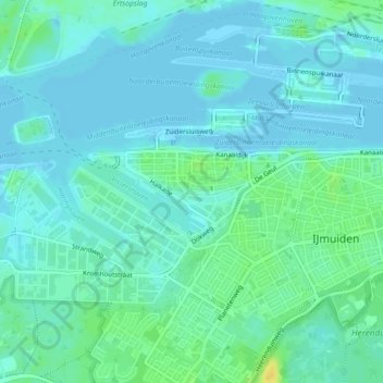
Name: Vissershaven topographic map, elevation, terrain.
Average elevation: 20 ft
Minimum elevation: -10 ft
Maximum elevation: 75 ft
Other topographic maps
Click on a map to view its topography, its elevation and its terrain.
Velserbroek
Nederland > Noord-Holland > Velsen
Velserbroek, Velsen, Noord-Holland, Nederland
Average elevation: 10 ft