
Krekel topographic map
Interactive map
Click on the map to display elevation.
About this map
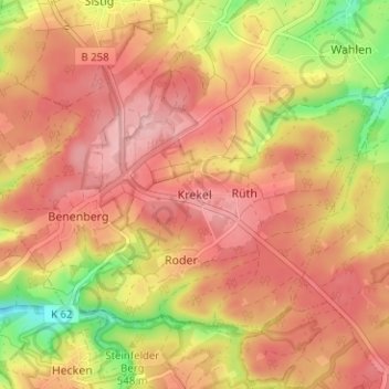
Name: Krekel topographic map, elevation, terrain.
Location: Krekel, Kall, Kreis Euskirchen, Noordrijn-Westfalen, Duitsland (50.45141 6.51320 50.49141 6.55320)
Average elevation: 1,831 ft
Minimum elevation: 1,542 ft
Maximum elevation: 1,988 ft