Le Vert Buisson topographic map
Interactive map
Click on the map to display elevation.
About this map
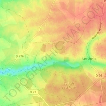
Name: Le Vert Buisson topographic map, elevation, terrain.
Average elevation: 577 ft
Minimum elevation: 466 ft
Maximum elevation: 640 ft

Click on the map to display elevation.
Name: Le Vert Buisson topographic map, elevation, terrain.
Average elevation: 577 ft
Minimum elevation: 466 ft
Maximum elevation: 640 ft