
Sidi Bouzid topographic map
Interactive map
Click on the map to display elevation.
About this map
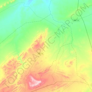
Name: Sidi Bouzid topographic map, elevation, terrain.
Location: Sidi Bouzid, Daïra Aflou, Laghouat, RADP (34.21837 1.99383 34.43476 2.37206)
Average elevation: 4,003 ft
Minimum elevation: 3,248 ft
Maximum elevation: 5,561 ft