
Schwarzois topographic map
Interactive map
Click on the map to display elevation.
About this map
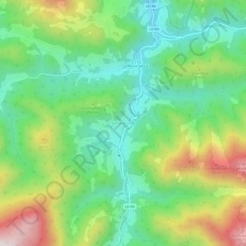
Name: Schwarzois topographic map, elevation, terrain.
Location: Schwarzois, Bezirk Amstetten, Niederösterreich, Österreich (47.88859 14.91790 47.92859 14.95790)
Average elevation: 2,339 ft
Minimum elevation: 1,516 ft
Maximum elevation: 3,839 ft