
七差乡 topographic map
Interactive map
Click on the map to display elevation.
About this map
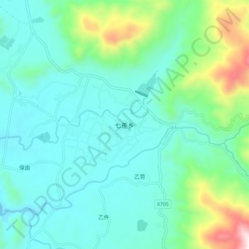
Name: 七差乡 topographic map, elevation, terrain.
Location: 七差乡, 昌江黎族自治县, 海南省, 中国 (19.07658 109.02725 19.15658 109.10725)
Average elevation: 801 ft
Minimum elevation: 174 ft
Maximum elevation: 3,251 ft
Other topographic maps
Click on a map to view its topography, its elevation and its terrain.