
La Saboterie topographic map
Interactive map
Click on the map to display elevation.
About this map
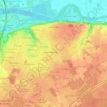
Name: La Saboterie topographic map, elevation, terrain.
Average elevation: 262 ft
Minimum elevation: 141 ft
Maximum elevation: 338 ft
Other topographic maps
Click on a map to view its topography, its elevation and its terrain.
Rougemont
France > Centre-Val de Loire > Indre-et-Loire > Saint-Avertin > Rougemont
Rougemont, Saint-Avertin, Tours, Indre-et-Loire, Centre-Val de Loire, France métropolitaine, 37550, France
Average elevation: 249 ft