
Cheny topographic map
Interactive map
Click on the map to display elevation.
About this map
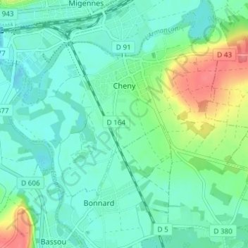
Name: Cheny topographic map, elevation, terrain.
Average elevation: 308 ft
Minimum elevation: 246 ft
Maximum elevation: 486 ft
Other topographic maps
Click on a map to view its topography, its elevation and its terrain.
Les Cassoirs
Frankreich > Burgund und Freigrafschaft > Yonne > Auxerre > Les Cassoirs
Les Cassoirs, Auxerre, Yonne, Burgund und Freigrafschaft, Metropolitanes Frankreich, 89000, Frankreich
Average elevation: 505 ft